Products
American Educational Products
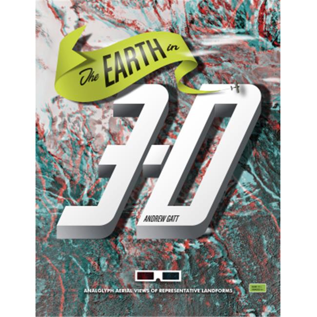
American Educational Products 570 The Earth In 3D Book With 2 Pairs Of 3D Glasses
Upgrade to unlock this product- Shipping Cost (lower 48): $22.72
- SKU: UNMAP8179
- Asin: B00657YMAQ
- Manufacturer Part #: 570
- Qty Available: 37
- Shipped By: 3 days
- Stock: In Stock
Please login to view pricing details.
Product Description
Features
- Book is an effective visual introduction to geology
- Aerial photographs of geologically significant locations have been digitally transformed into fascinating 3-D views
- Sixteen aerial images included in the book vividly illustrate dozens of landforms typically covered by earth science textbooks such as mesas, landslides, faults, dunes, and volcanoes
- A description of the location and a series of study questions accompany each photograph
- Two pairs of 3-D glasses are included with each book
- Grades 6-12
- Ages 11-18.
 upgrade to unlock this product
ATM11117 Development Dragon Shield Japanese Matte IV Card Accessories -
upgrade to unlock this productATM11124 Development Dragon Shield Japanese Matte Jet Card Accessories -
upgrade to unlock this productATM11125 Development Dragon Shield Japanese Matte Mint Card Accessories -
upgrade to unlock this productATM21529 Play Mat Dragon Shield Racan PU Card Accessories
upgrade to unlock this productATM31717 Database Dragon Shield Deck Shell Opylae IV Card Accessories
upgrade to unlock this product