Products
National Geographic
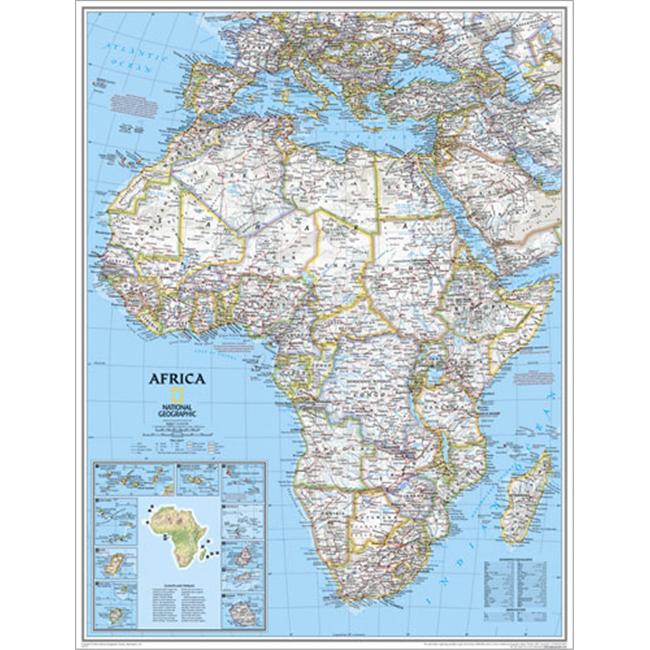
National Geographic RE00620052 Map Of Africa - Enlarged
Upgrade to unlock this product- Shipping Cost (lower 48): $12.98
- SKU: NGS580
- Asin: B002HNKM06
- Manufacturer Part #: RE00620052
- Qty Available: 825
- Shipped By: 4 days
- Stock: In Stock
Please login to view pricing details.
Product Description
The National Geographic Africa Political Map shows country boundaries place names and bodies of water for the entire continent with the most accurate and up to date information. Included is a helpful inset map of surrounding islands. Features: Detailed and accurate markings Inset map of surrounding islands Overall Dimensions 46in H x 36in W
 upgrade to unlock this product
Raised Relief Map K-SF2225 San Francisco Bay
upgrade to unlock this productRaised Relief Map 419 Yellowstone National Park
upgrade to unlock this product434 World Geo-Physical Map
upgrade to unlock this product436 Ocean Floor Map
upgrade to unlock this productProducts 448 Middle East Map
upgrade to unlock this product