Products
National Geographic
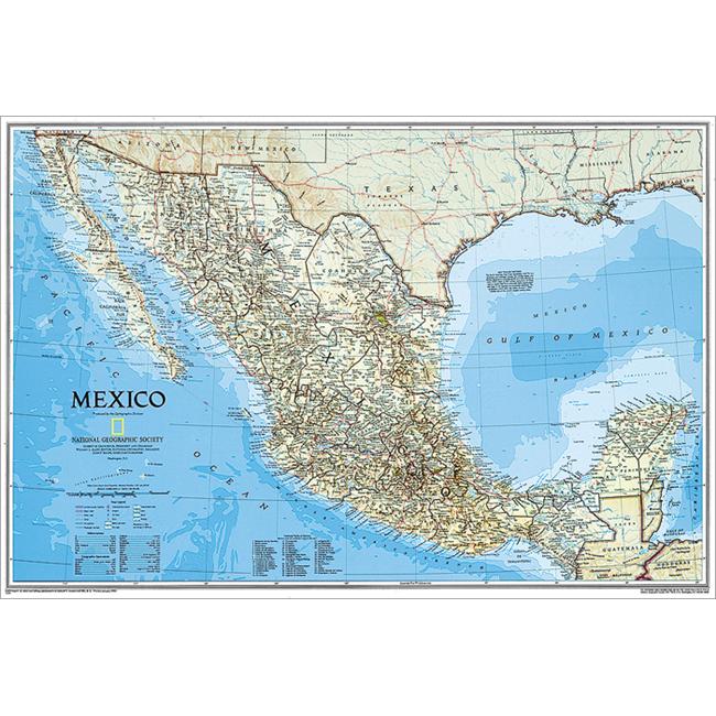
National Geographic RE00602295 Map Of Mexico
Upgrade to unlock this product- Shipping Cost (lower 48): $14.53
- SKU: NGS307
- Asin: B003UWFUOG
- Manufacturer Part #: RE00602295
- Qty Available: 1515
- Shipped By: 4 days
- Stock: In Stock
Please login to view pricing details.
Product Description
This finely detailed National Geographic political map of Mexico shows country boundaries cities and towns airports major highways and roads and bodies of water. Shaded relief helps to show the countries terrain more clearly and accurately. Features: Shaded relief Accurate political markings Map Scale 1in equals 69 miles Overall Dimensions 21in H x 31in W
 upgrade to unlock this product
Raised Relief Map K-SF2225 San Francisco Bay
upgrade to unlock this productRaised Relief Map 419 Yellowstone National Park
upgrade to unlock this product434 World Geo-Physical Map
upgrade to unlock this product436 Ocean Floor Map
upgrade to unlock this productProducts 448 Middle East Map
upgrade to unlock this product